On 12 November 2017 at eve, a massive earthquake occurred with the moment magnitude of 7, 3 between Iran-Iraq border near Galeh in Kermanshah province and at the 32 kilometers south west of city Halabja, Iraq.
The center of the earthquake was 5 kilometers far from Galeh in Kermanshah province and the United States Geological Survey declared that the center of the earthquake was at the 32 kilometers from the outskirts of the Halabja in Iraq.
Based on the Iran’s Geological Survey chief statements, there was a few foreshocks before the tremendous earthquake, these foreshocks occurred at 21:00 P.M till 21:48 P.M which made people aware of the situation and the magnitude of 4, 5 was the highest amount recorded.
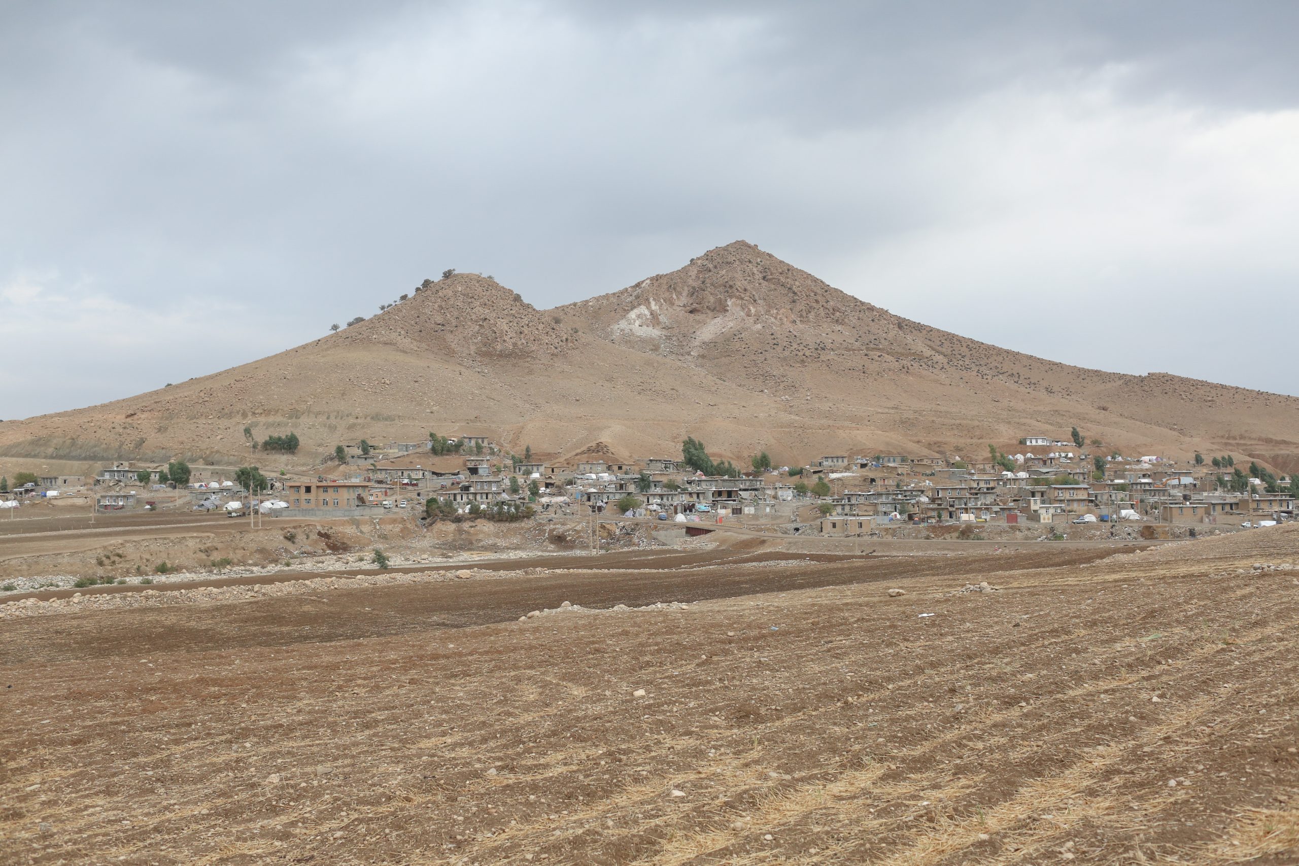
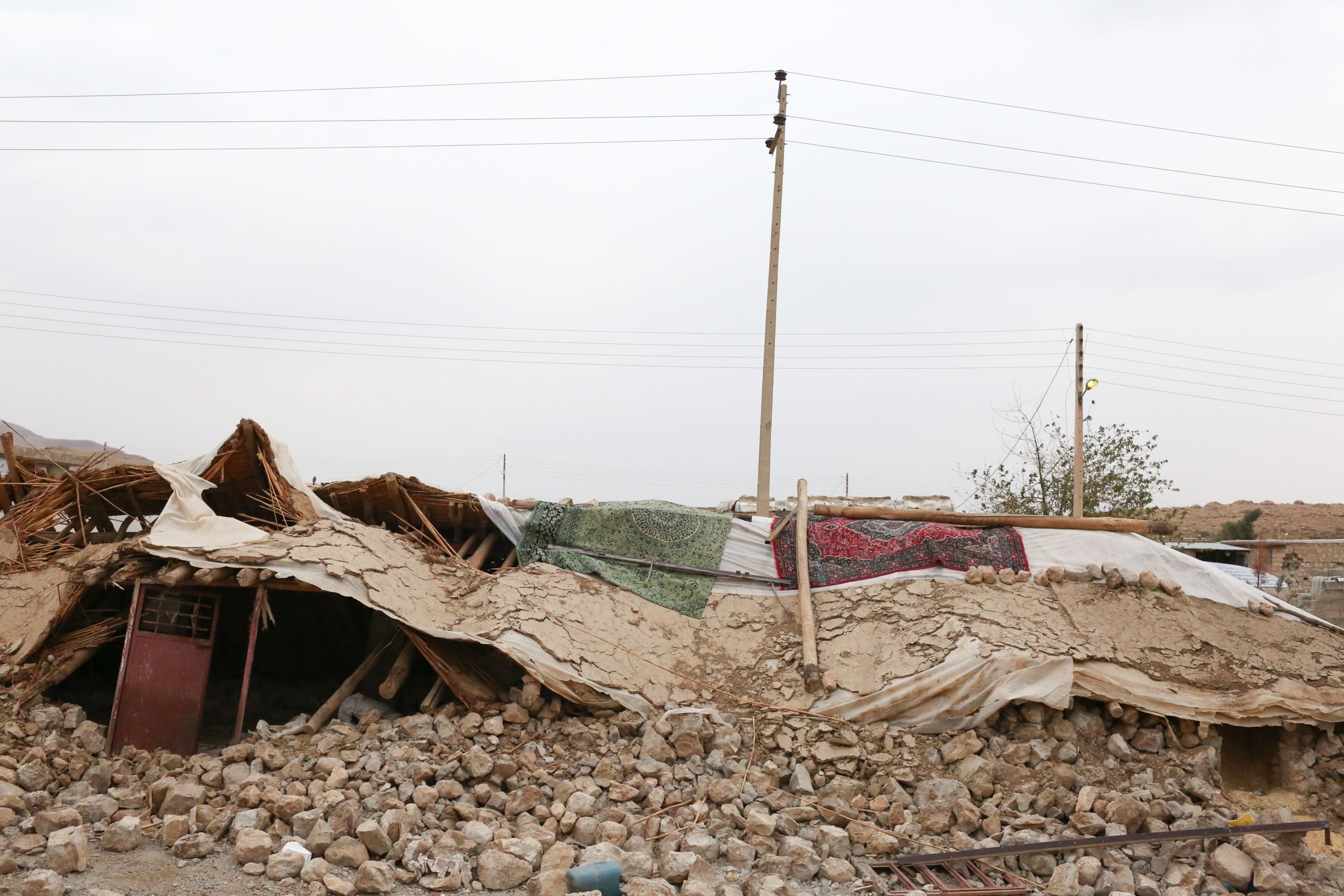
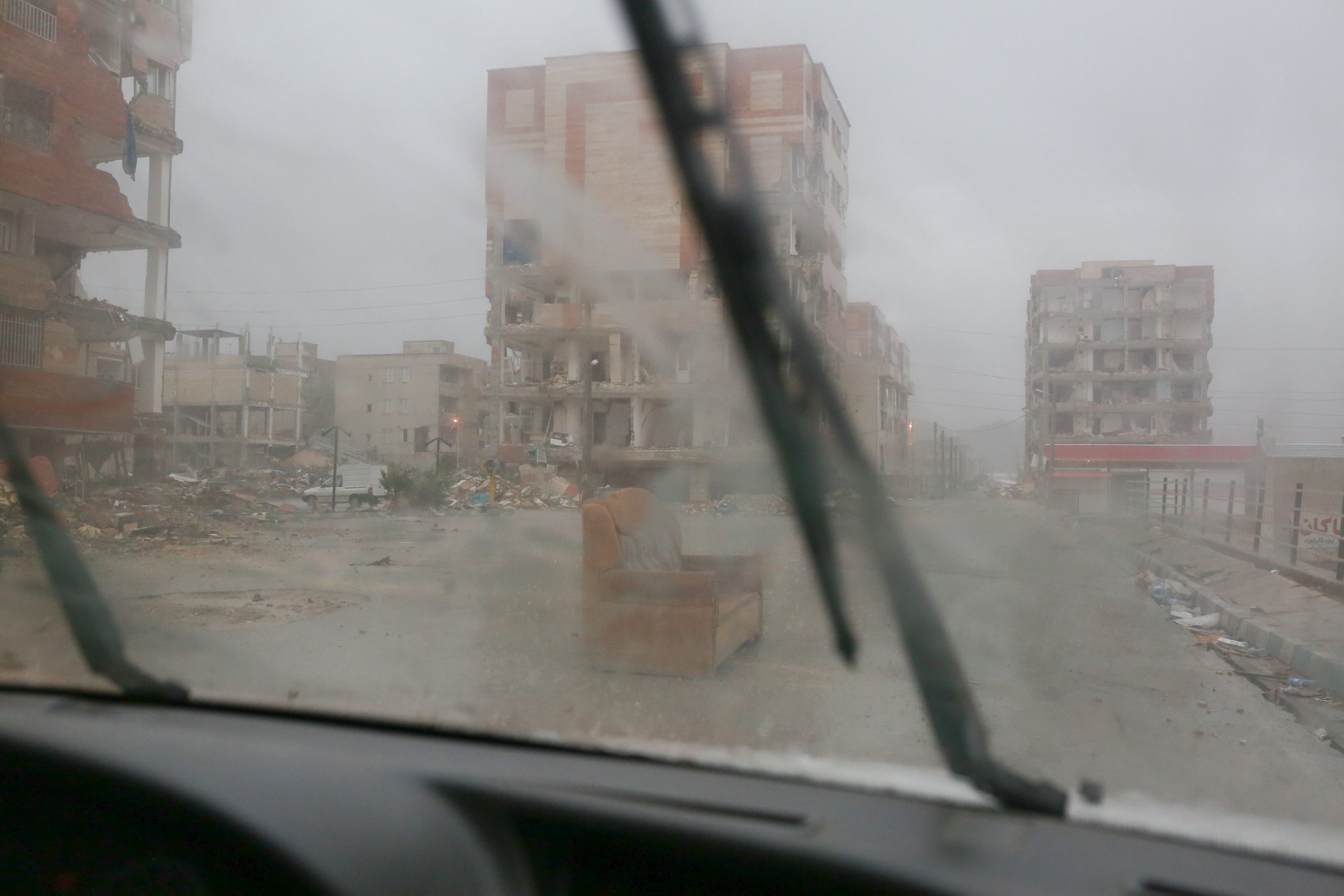
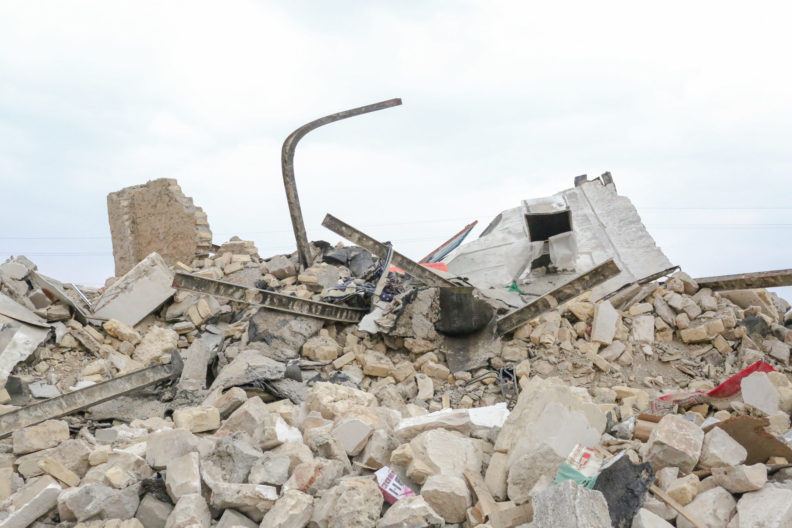
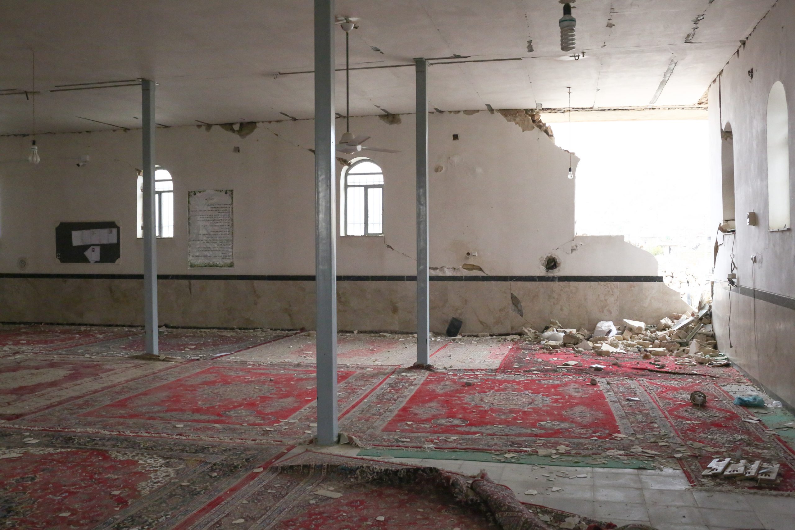
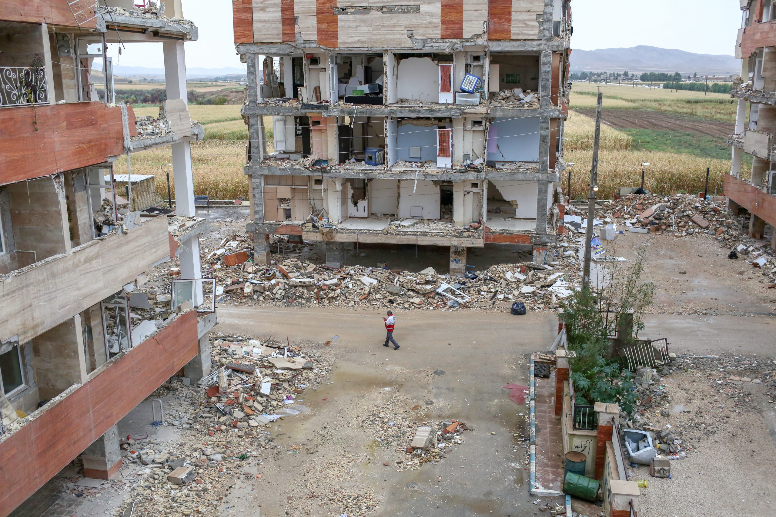
The number of people who had lost their lives in Iran reached to 574 and also 9,388 people are injured and 70,000 people had lost their homes.
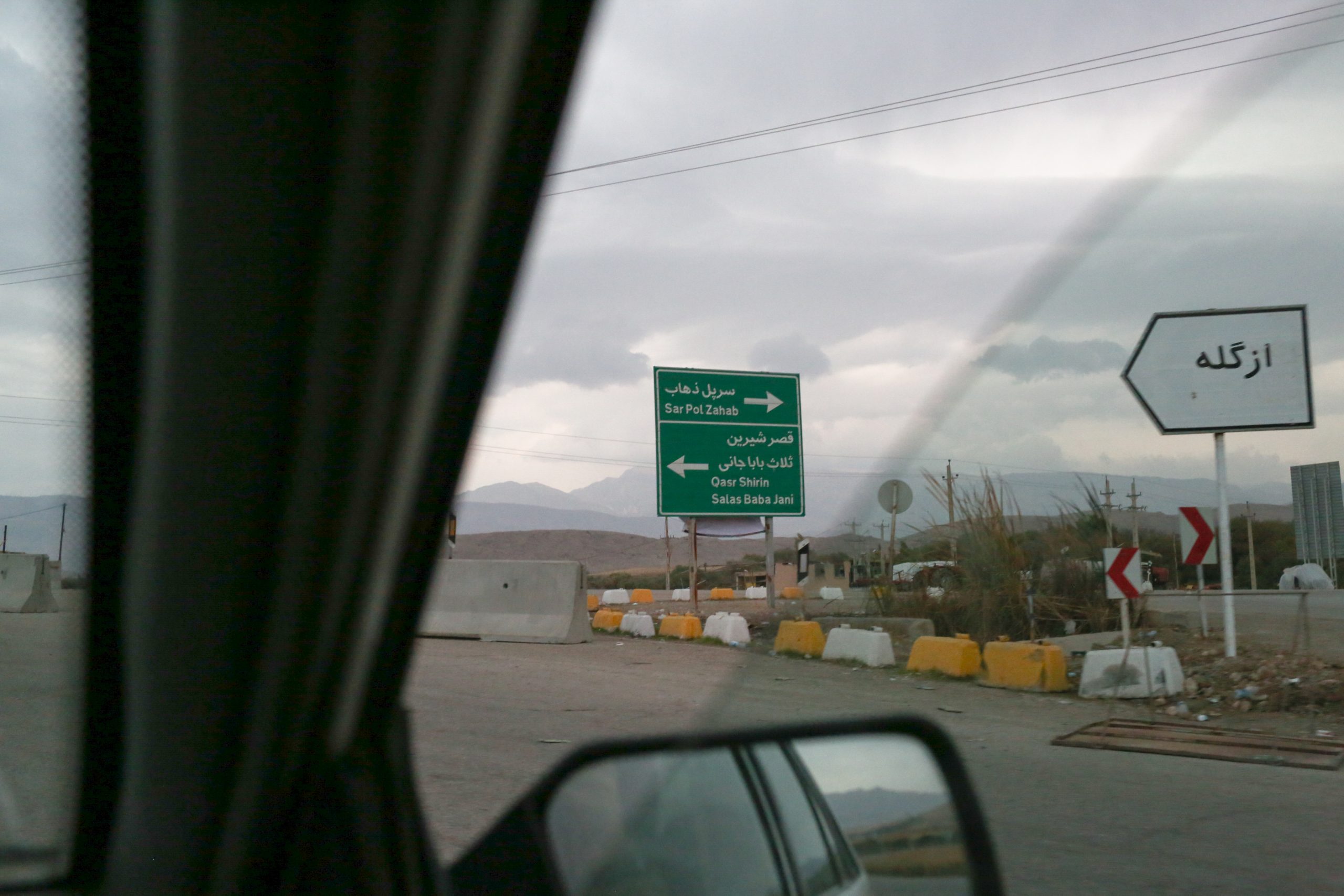
The Ezgaleh city was the closest region to the center of the earthquake- at the 5 kilometers distance. The depth of the earthquake was about 11 kilometers and the reasons that in was felt all over the North West are the shallowness and the duration.
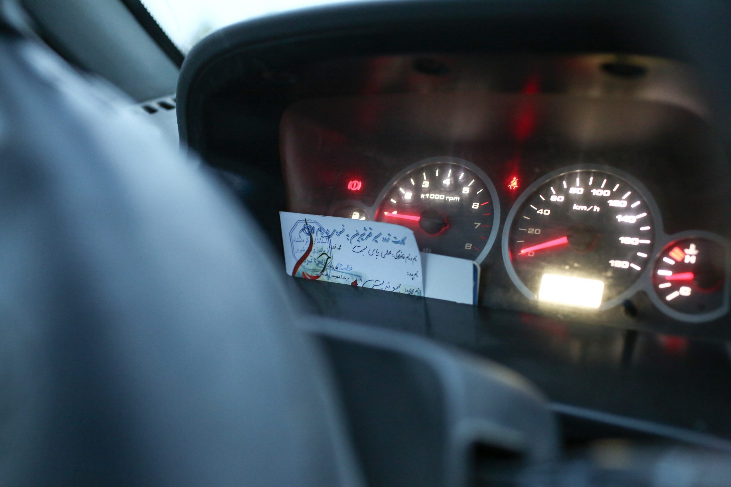
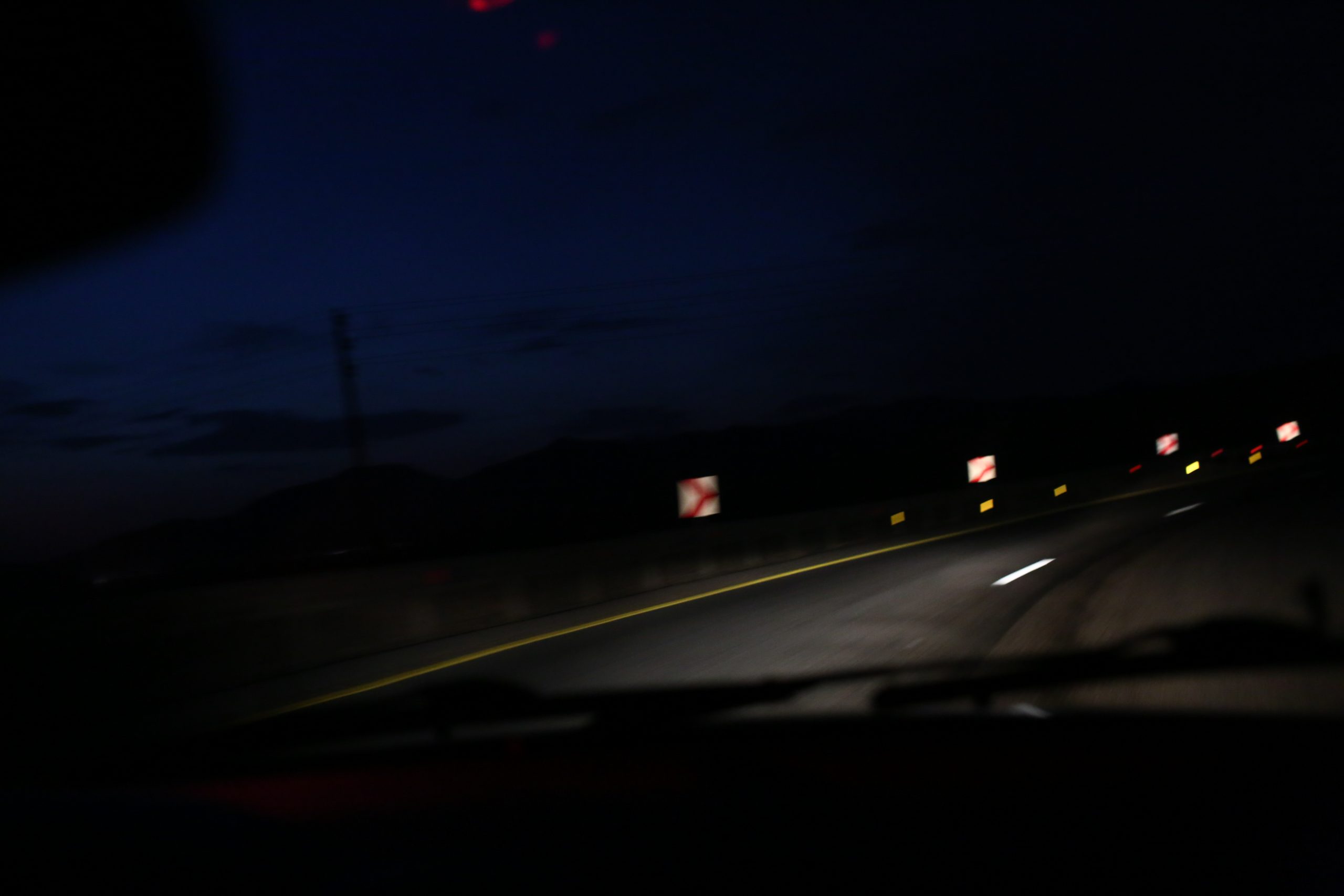
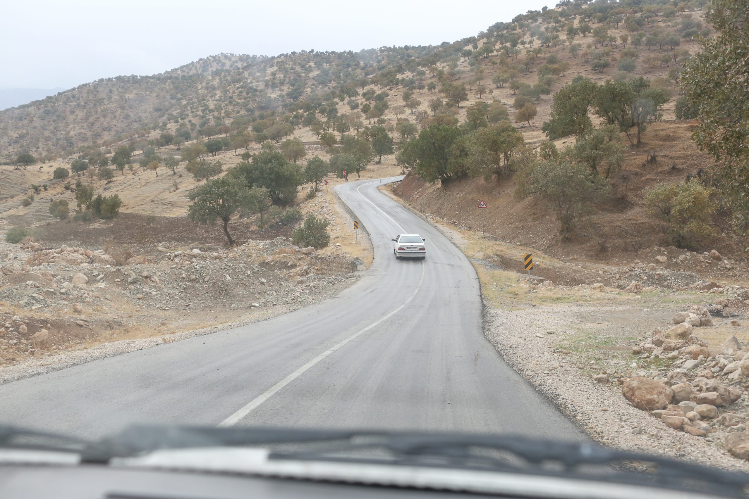
About 10 days after the earthquake, one of my friends named Tahha and I went our ways to the earthquake zone in order to take photos.
This was the second time that I took photos of crisis and my first experience of taking photos of a region that was stricken by earthquake.-my first experience was the flood that happened in Sijan, 2015.
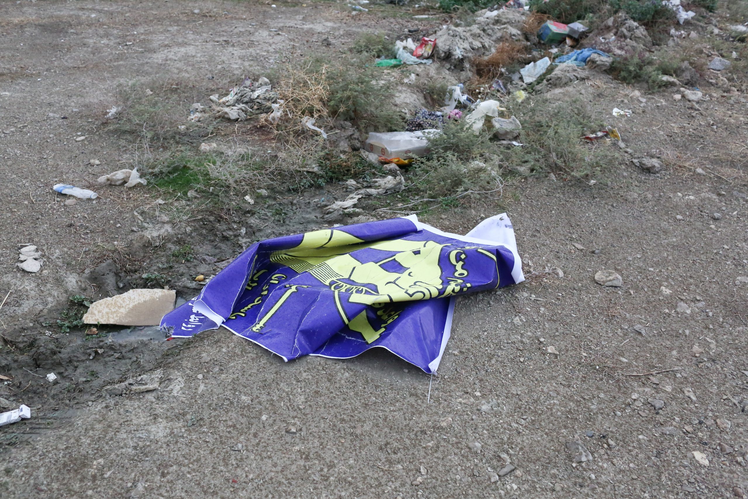
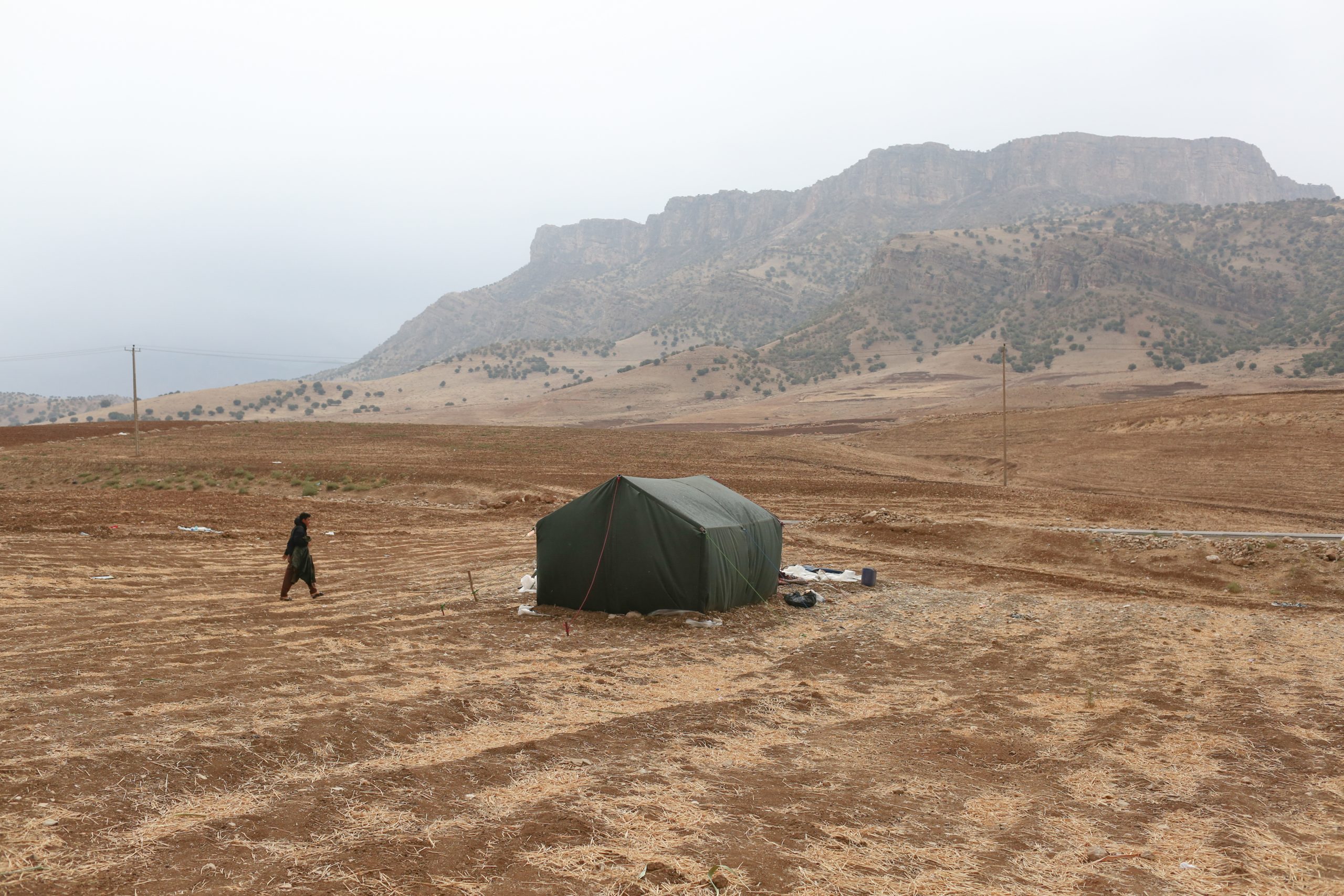
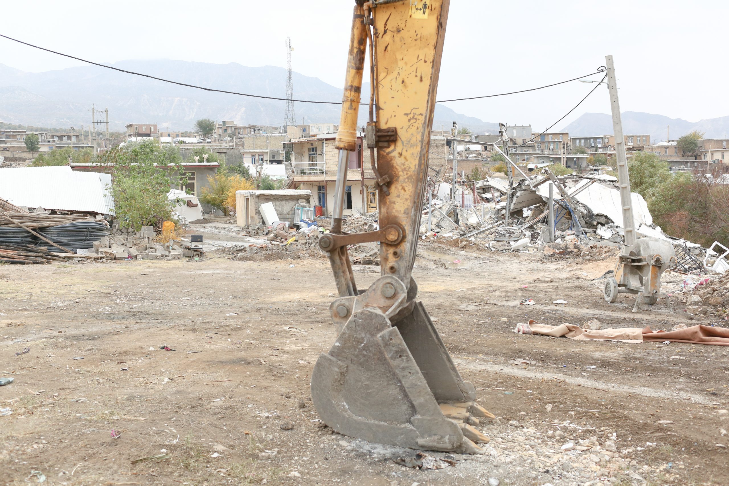
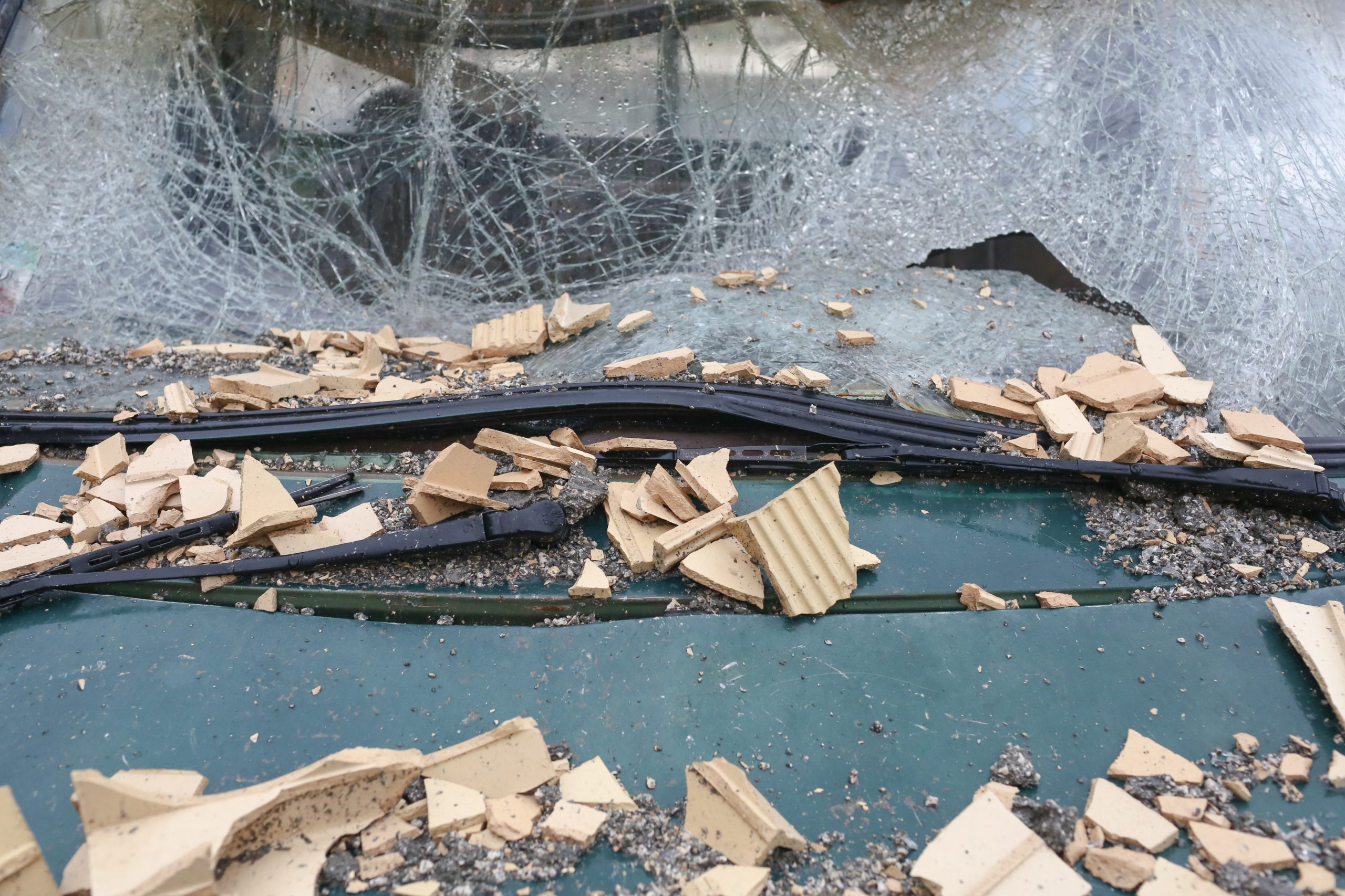
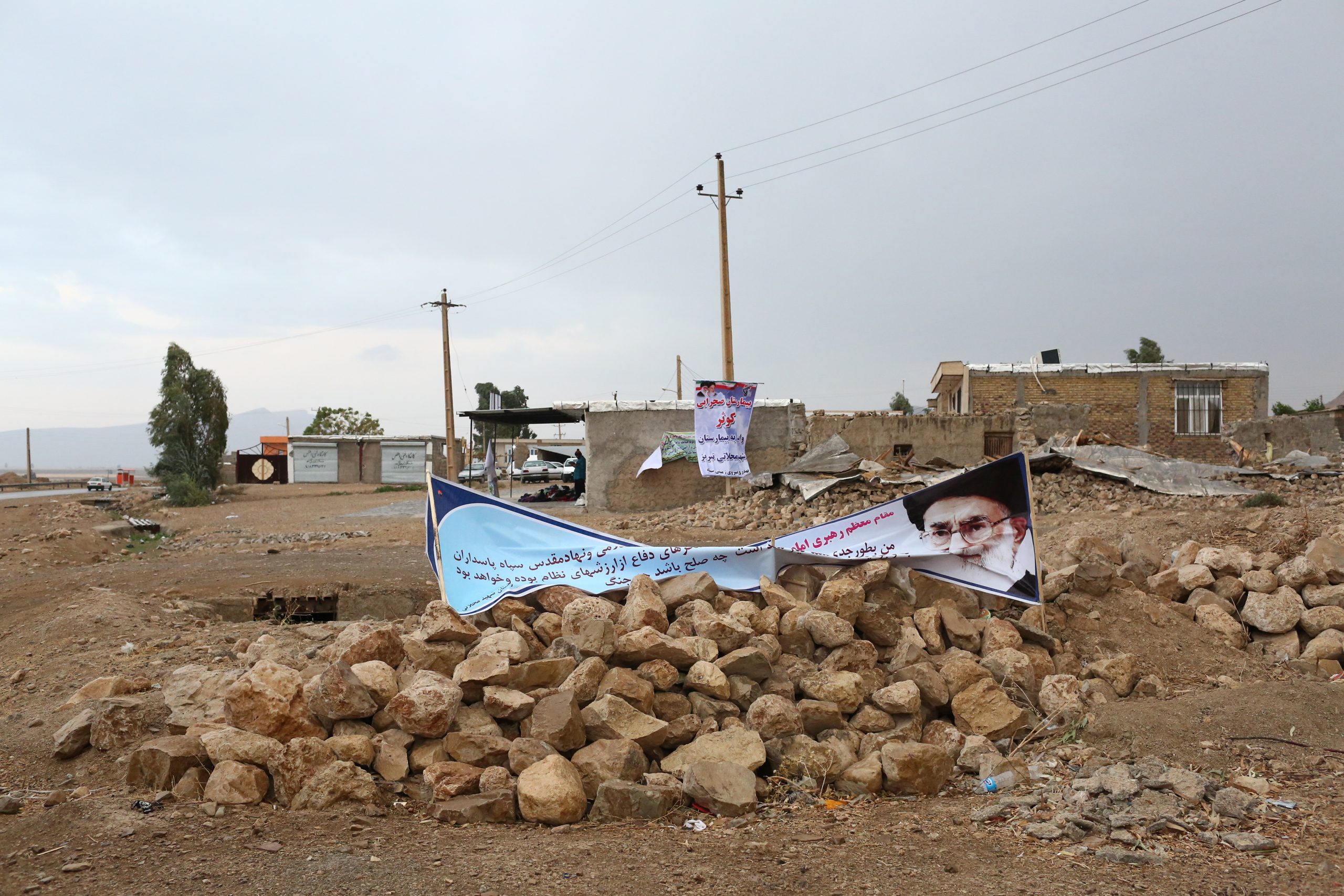
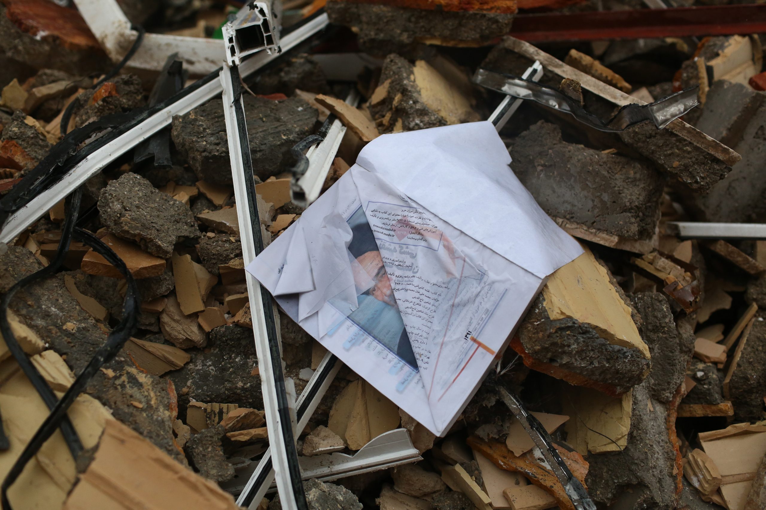
The first thing that drew our attention to was the vacant places that once there were filled with people who never thought their lives would have end like this 10 days ago, now these places which life was floating in them are now wreckages.
This story was the reason I made my decision to take photos of the atmosphere existing in the regions stricken by earthquake-considering the geographical region without the physical attendance of the people.
This resent collection is an effort made to show Kermanshah 10 days after the massive earthquake.